WEATHER IN CHENNAI
Weather forecast (May 4)
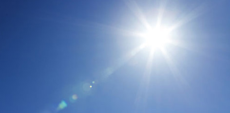
In Chennai sky condition likely to be mostly sunny. Maximum and minimum temperature likely to be around 34�C and 28�C respectively.
Posted On :04/May/2017 2:35:56 PM

Chennai Meteorological Centre: Intensity of heat will be less in the next 3 days
The Chennai Meteorological Centre has informed that though Agni Nakshatram or Kathiri Veyyil or the peak summer is start, the intensity of heat will be lesser in the next 3 days.
Posted On :04/May/2017 11:01:15 AM

Weather Bureau warning: do not venture outside in the noon
It has been warned that with the peak of the summer already started (Agni Nakshatram), the possibilities of ultra-violet rays may be more intense.
Posted On :04/May/2017 10:47:29 AM

Agni Nakshatram from today (4th May): Peak summer for 25 days
The hottest part of the summer in Tamil Nadu, also known as Agni Nakshatram or Kathiri Veyyil, starts from today (Thursday, 4th May).
Posted On :04/May/2017 9:59:15 AM

Weather forecast (May 3, 2017)
In Chennai sky condition likely to be partly cloudy. Maximum and minimum temperature likely to be around 36�C and 27�C respectively.
Posted On :03/May/2017 2:54:49 PM
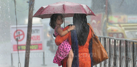
Good Pre-Monsoon Showers For Kerala And Tamil Nadu Today
Few districts of Kerala and Tamil Nadu have been witnessing good rains from the last couple of days. In fact, a few districts even recorded some hefty showers as well.
Posted On :03/May/2017 12:47:06 PM

Agni Naksahtram to start on 4th May
Summer in Tamil Nadu this year has been quite intensely hot so far.
Posted On :02/May/2017 1:37:14 PM