Cyclone Senyar Forms Over Strait of Malacca; No Impact on Tamil Nadu, Says IMD

A deep depression over the Strait of Malacca has intensified into a cyclonic storm and has been officially named Cyclone Senyar, a name recommended by the United Arab Emirates.
The system originated as a low-pressure area on November 22 over the Strait of Malacca and the adjoining Andaman Sea. It gradually strengthened into a deep depression over the South Andaman Sea and the surrounding regions. By the day before yesterday, the system was located over Malaysia and nearby areas of the Strait of Malacca.
According to the Meteorological Department, the system was expected to move in a west-northwesterly direction and intensify into a depression over the South Andaman Sea within 24 hours. It was further predicted to strengthen into a cyclonic storm - now named Cyclone Senyar - over the South Bay of Bengal within 48 hours. As forecast, the deep depression has now developed into a cyclone.
No Impact on Tamil Nadu
The Meteorological Department has confirmed that Cyclone Senyar will not have any impact on Tamil Nadu.
Rainfall Forecast
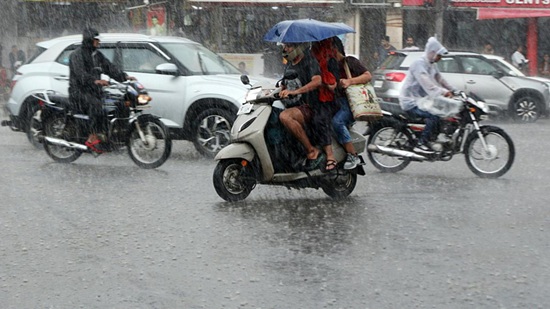
Despite no direct impact, the cyclone`s influence is expected to bring:
- Heavy rain at a few places in coastal Tamil Nadu today
- Rain at a few locations in interior Tamil Nadu, Puducherry, and Karaikal
Authorities are monitoring the system closely, though no major threat has been reported for the state.
Top Stories
-
 Tomorrow Panchangam August 01, 2026 | Auspicious Timings, Rahu Kalam, Gulikai31/Jul/2026 6:41:47 PM
 -

-
 The Businesses That Grow Consistently Have One Habit in Common31/Jul/2026 4:00:10 PM
 -
 Shankar IAS Academy Chennai: Courses, Fees, Facilities & Contact Details31/Jul/2026 3:58:41 PM
 -

-
 Tamil Nadu Heavy Rain Alert: 5 Districts Likely to Receive Heavy Rain Today and Tomorrow31/Jul/2026 3:22:02 PM