Cyclone Madi latest position
Posted on: 10/Dec/2013 3:35:45 PM - No. of views : (4285)
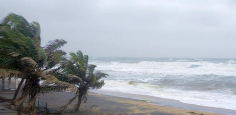

Last week Cyclone Madi developed over the Bay of Bengal, northeast of Sri Lanka and east of India. After producing locally heavy rainfall across Sri Lanka and the southeast coastline of India for several days, the cyclone drifted northward over the weekend over the open Bay of Bengal.
Parts of eastern Sri Lanka received 150-300 mm (6-12 inches) of rainfall last week and could have another round of rainfall later this week as Madi returns from the north.
Madi is expected to be nearly stationary into Tuesday before turning southwest and eventually approaching southeast India and northern Sri Lanka later this week.
This track will bring another round of tropical downpours to southeast India, mainly from Chennai southward and also across the northern third of Sri Lanka.The positive news is that Madi will weaken as it brings this second round of downpours to India and Sri Lanka so no widespread flooding is expected. However, localized amounts in excess of 100 mm (4 inches) will be possible and could lead to flooding problems.