No. of views : (3792)
Categorization of lands in Chennai through Internet
Posted on: 14/Mar/2017 12:56:02 PM

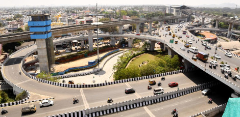
The future plans or projects of new infrastructure are allowed based on the types of lands available in the district, residential areas, Commercial areas, water sources areas, etc.
With the increasing trend of online services introduced in all fields of work, the facility to identify the type of land has been incorporated in the Chennai city�s 2nd Master Plan.
The 2nd Maser Plan, made in the year 2008, has been made giving due consideration of the growth and changes likely to happen by the year 2026.
As per this 2nd Master Plan, the present status of various aspects such as economy, transportation, residential areas and development, infrastructure, solid waste management, integrated drain water arrangement, disaster management, environment, and the planning of land usage and then what is the degree of advancement/change in these aspects by the year 2026 and the recommendations for these changes were recommended in this plan.
5 committees were formed to devise the methodology and execute the recommendations of the 2nd Master Plan � Economics and Job Opportunities Committee, Land Usage and Environment Committee, residence, and Infrastructure Committee, and Administration Committee.
As per the rules and regulations of the 2nd Master Plan, the above committees will meet once in 3 months and make recommendations for execution of the plan. In order to review and make necessary changes if required, the entire project should be reviewed after every 5 years. However, the project was kept in abeyance for a very long period. The committee meetings were not conducted either.
However, the interest has somewhat picked up recently and the entire land area of Chennai Metro City has been categorized as the basic residential areas, commerce, industry, water resource areas, Based on this, the sanction for new constructions to construct the houses, multi-storeyed apartments, commercial complexes will be made.
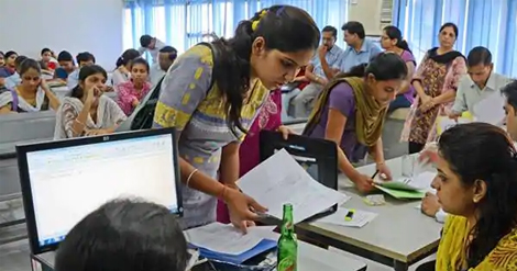
There was some sort of difficulty for the common public to understand the above categorization of and. Now, these have been resolved.
Through the website of the CMDA (Chennai Metro Development Authority), a compilation has been made detailing the different types of land in the city.
With the help of the National Information Centre, a special software has been developed. The basic property of the land is mentioned in this. These details have now been uploaded to the CMDA website.
With this, the public can easily understand the type of land in their residential area. Even those interested in buying new plot or house can refer to the web and find out the details regarding the type and property of the land where it is located. This data can be downloaded.
For further information, please visit the website: www.cmdamaps.tn.nic.in.